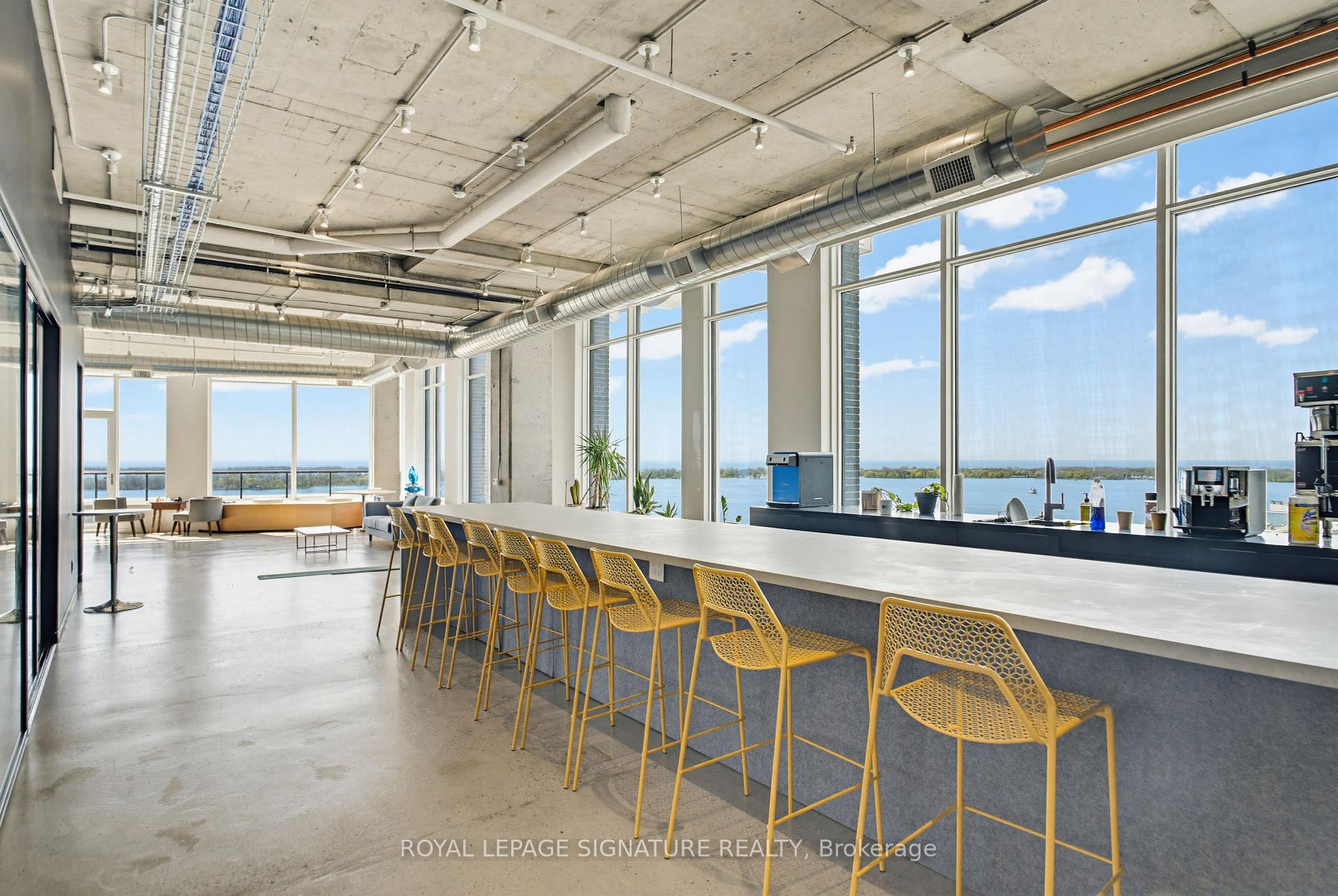
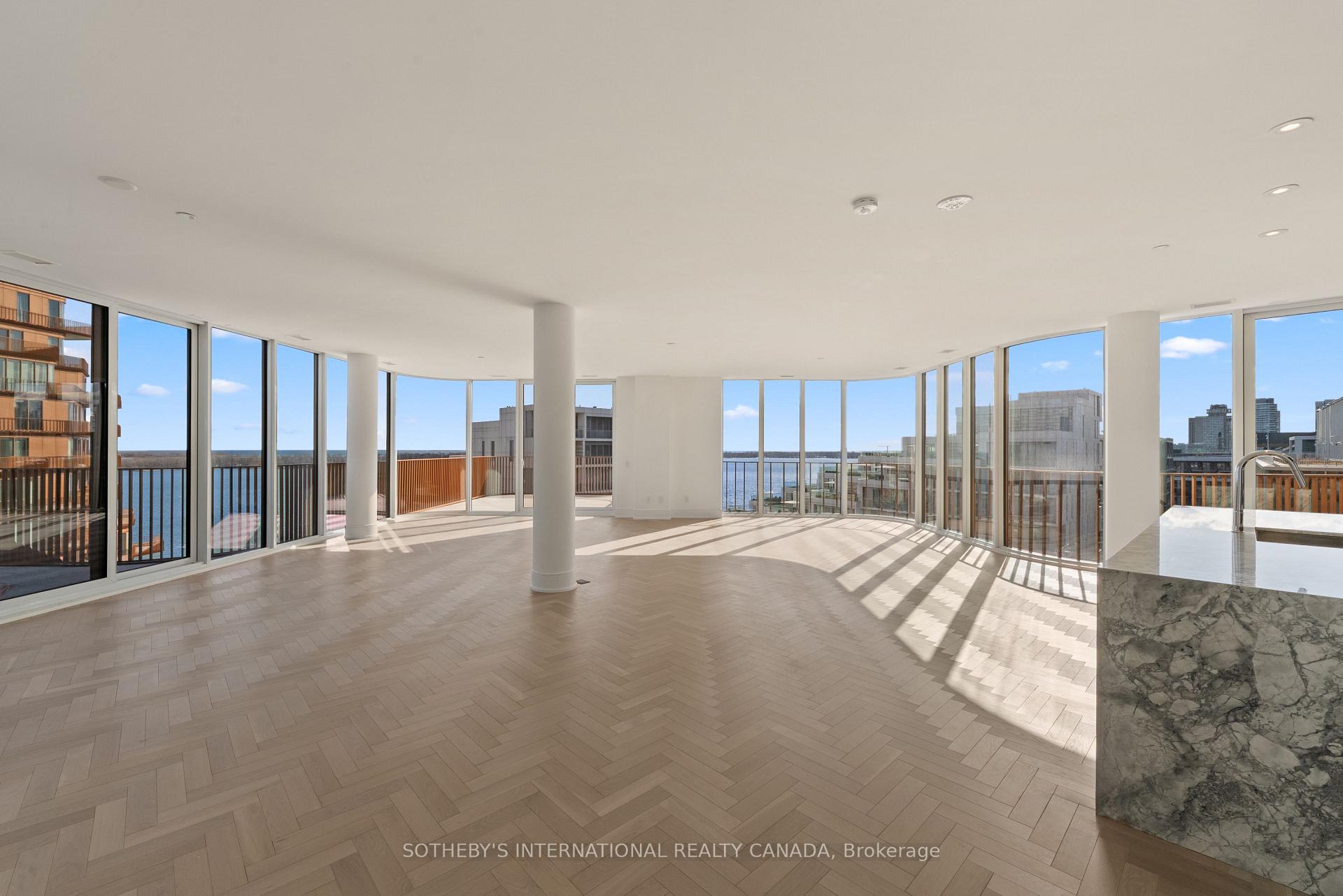
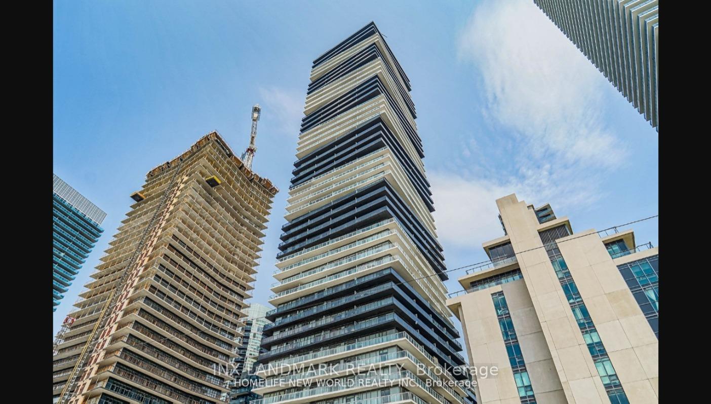
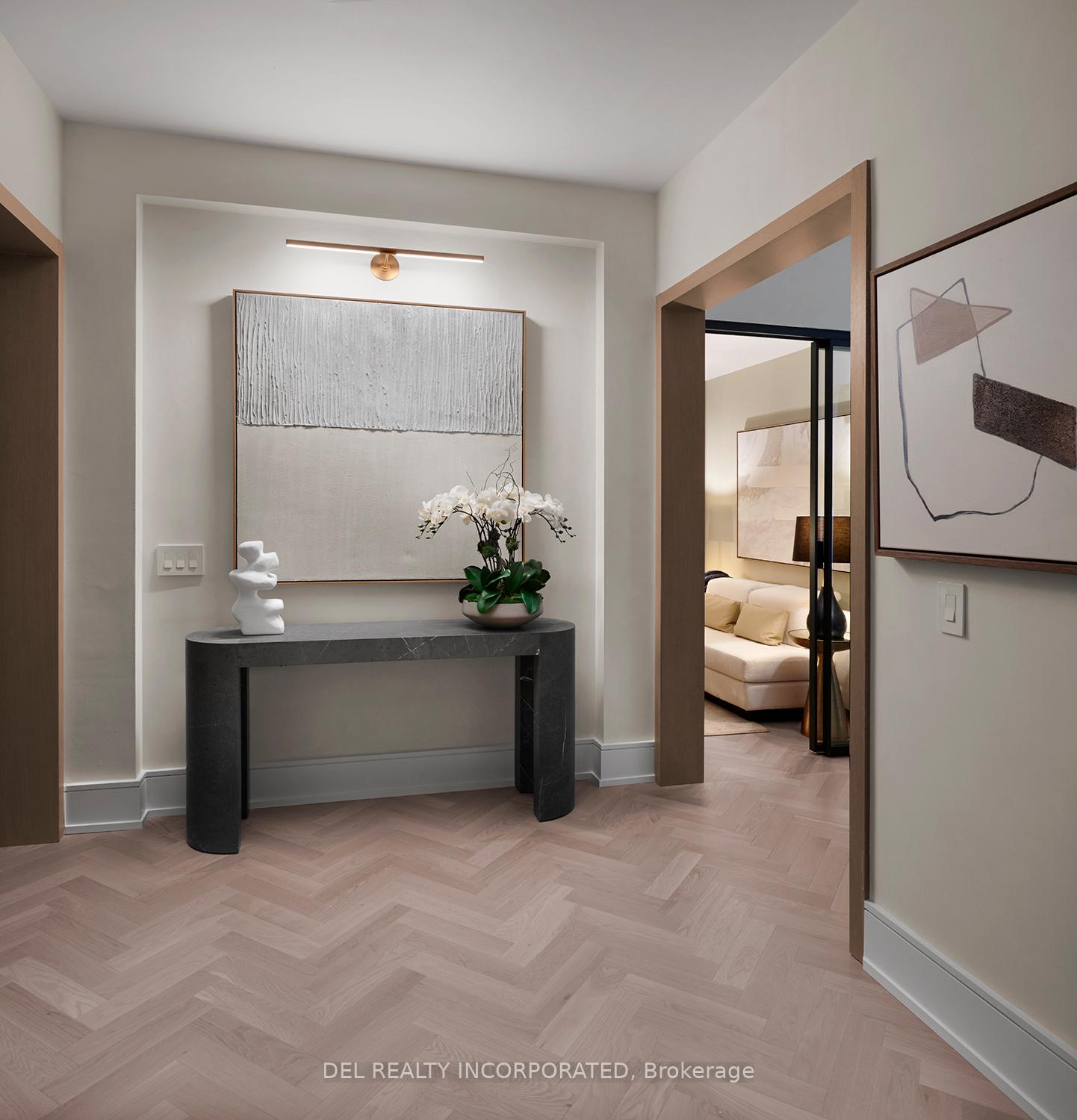
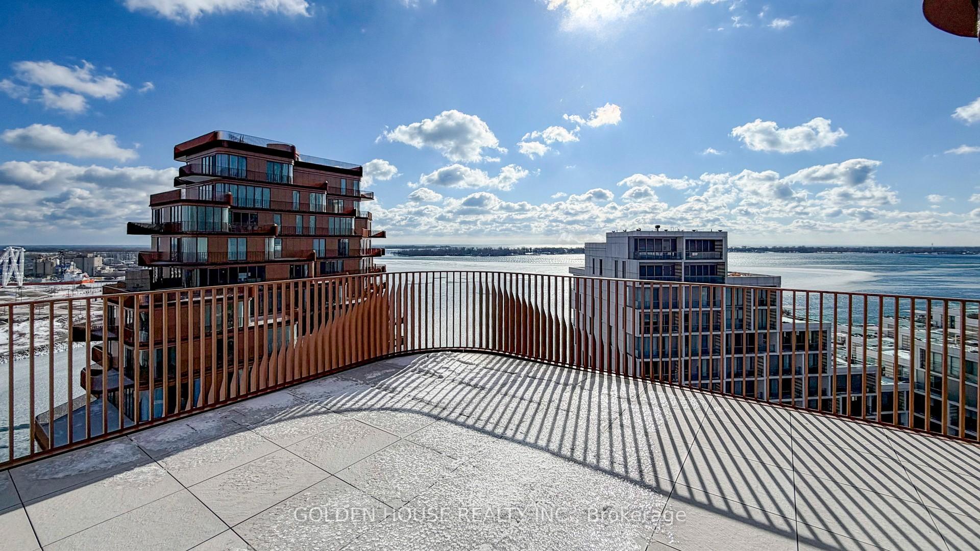
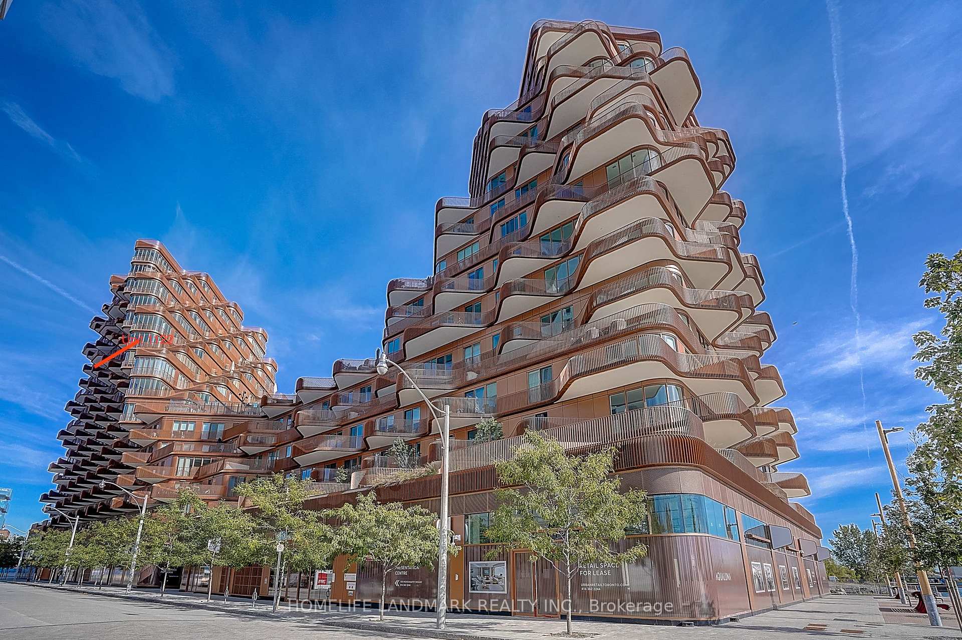
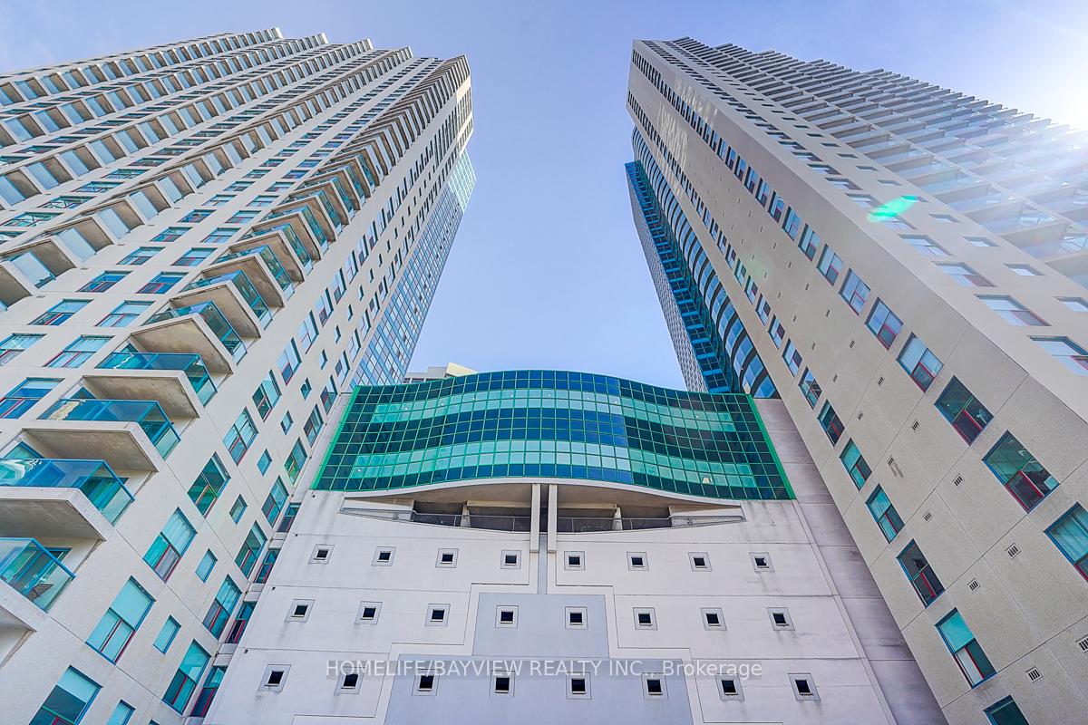
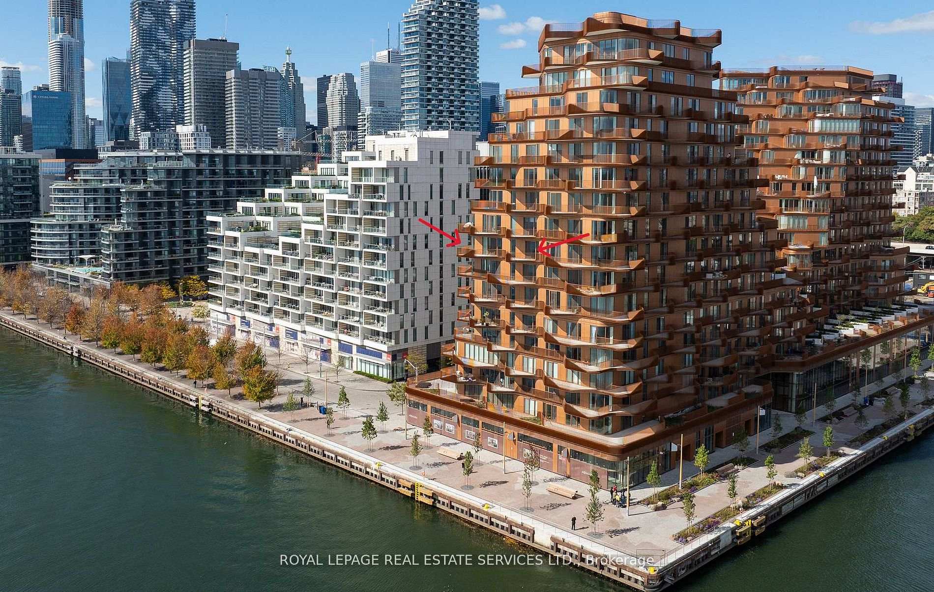
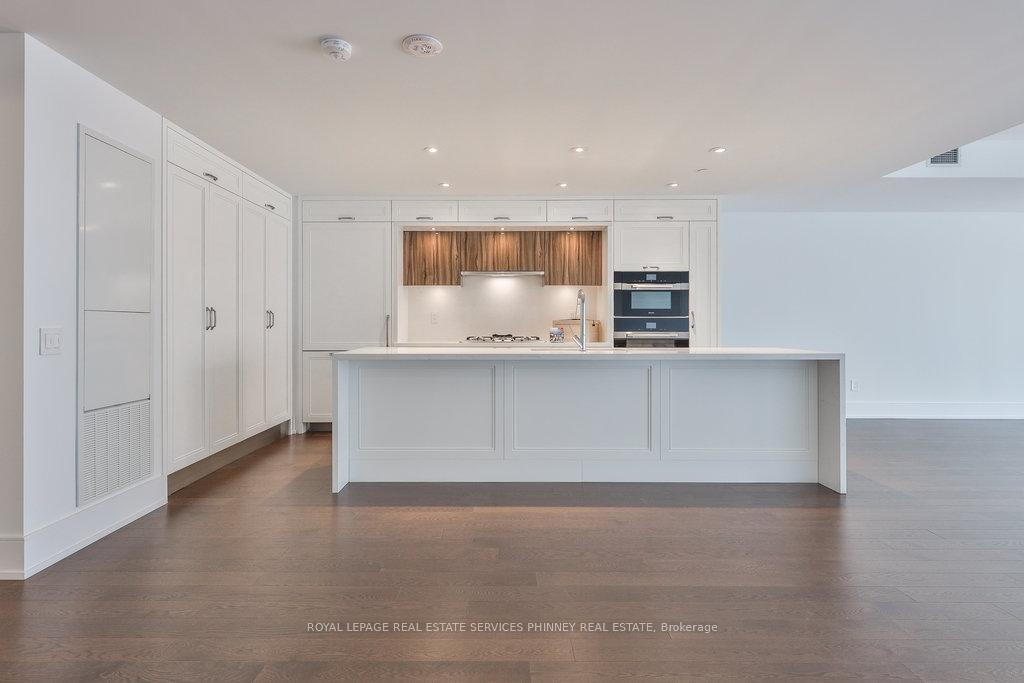
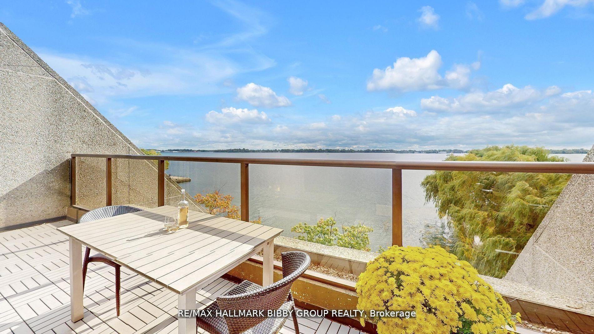
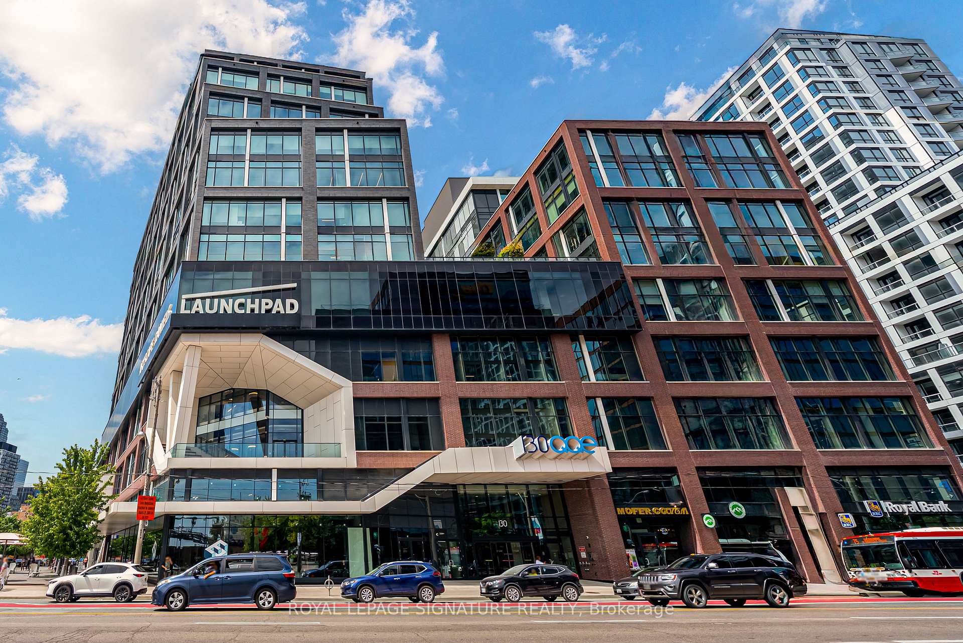
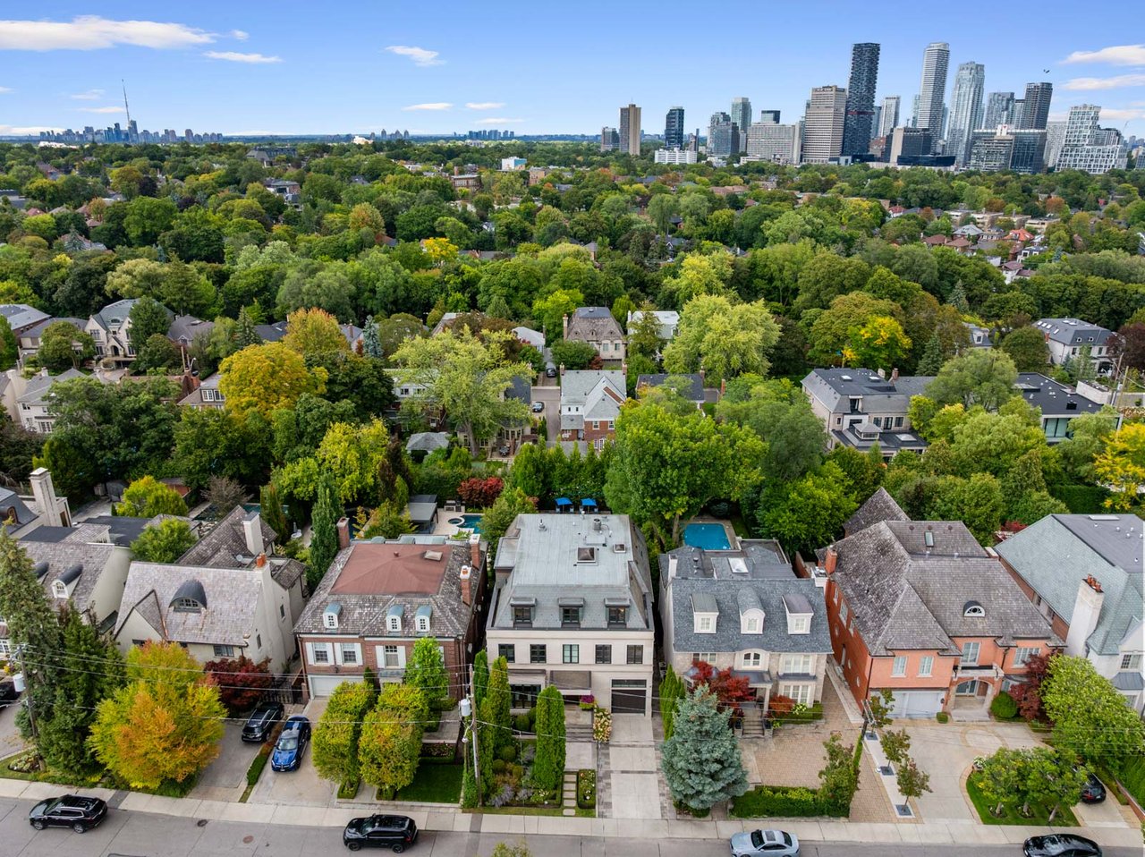
Featured Properties
Browse the available properties in the area below.
Over the past 15 years, the landscape has evolved from parking lots and neglected buildings into vibrant, accessible, and inclusive neighborhoods. By prioritizing architecturally unique and culturally significant designs, along with adopting innovative green building practices, we aim to establish our city as a leading waterfront destination.
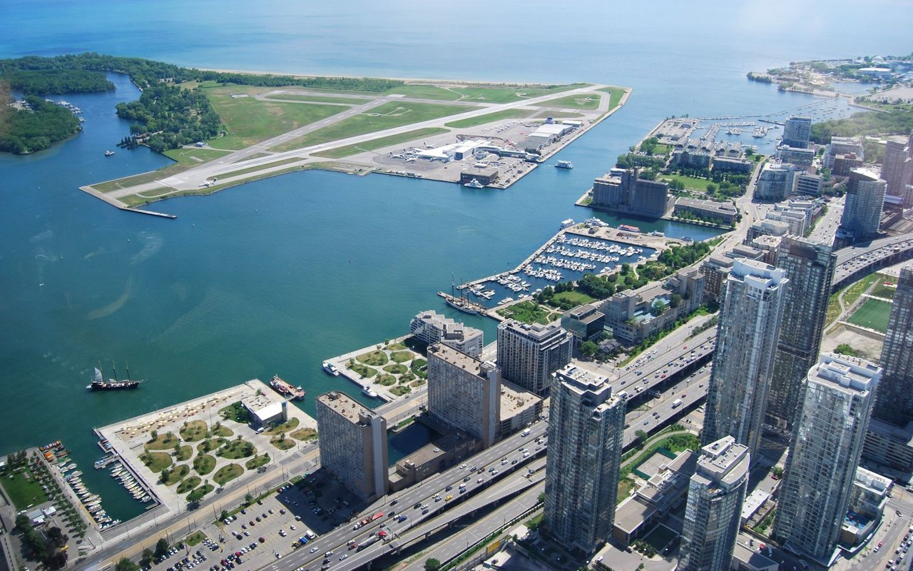
Areas of Toronto's waterfront:
Central Waterfront (From Bathurst Street to Lower Jarvis Street, south of Lake Shore Boulevard to Lake Ontario)-
2.5 km stretch along most well-developed part of downtown Toronto’s waterfront.
East Bayfront (From Lower Jarvis Street to Parliament Street, Lake Shore Boulevard to Lake Ontario)-
East Bayfront, a mixed-use community, contributes to Toronto's economic competitiveness and addresses the increasing demand for live-work-play environments in the downtown core. This neighborhood, offering picturesque waterfront views, seamlessly integrates residential, retail, institutional, and commercial developments with parks and public spaces. It serves as an appealing gateway to Lake Ontario for both visitors and residents. Situated a mere 10 minutes from Union Station, East Bayfront is establishing itself as a hub for innovation.
Port Lands (Keating Channel/Don River and Lake Shore Boulevard in the north, the Toronto Inner Harbour in the west, Ashbridges Bay in the east and Lake Ontario and Tommy Thompson Park in the south)-
Toronto's Port Lands are an artificially constructed space resulting from the infilling of what used to be one of Lake Ontario's largest wetlands. Commencing in the 1880s, the region underwent a gradual filling process to expand available land for industrial and shipping purposes. Toronto stands at a unique moment to revitalize an underutilized asset in the heart of the city. The Port Lands are set to host sustainable new communities, providing affordable housing, job prospects, and revitalized connections to the water and natural surroundings. Encompassing over 715 acres along the waterfront, the Port Lands extend southeast of Toronto's downtown core into Lake Ontario. Recognizable landmarks within this area include Cherry Beach, Tommy Thompson Park—a renowned birdwatching locale in the city—and the iconic decommissioned Hearn Generating Station.
West Don Lands (From Parliament Street to the Don River, King Street to the Rail corridor)-
An acclaimed master plan aimed at converting 32 hectares (80 acres) of former industrial lands into a community centered around pedestrians, featuring parks and inclusive housing for individuals of all ages, income brackets, and abilities. The development is strategically positioned with access to transit, retail, and community amenities, adhering to stringent sustainability standards. Upon completion, the West Don Lands will showcase approximately 6,000 new residential units, with 20 percent designated as affordable housing. The community will also offer substantial employment and commercial spaces, at least one elementary school, and two childcare centers, all enveloped by nearly 9.3 hectares (23 acres) of parks and public spaces. Notably, all constructions must meet our Minimum Green Building Requirements and attain a LEED Gold certification, aligning with our commitment to green and sustainable communities.
Browse the available properties in the area below.